
DistrictDelaysPiccadillyPart-closedBakerlooGood serviceCentralGood serviceCircleGood serviceElizabeth lineGood serviceHammersmith & CityGood serviceMildmayGood service
Roadworks: New King's Road · until 23:59 · TfLRoadworks: Sydney Place · until 31 Oct · TfL
Explore Kensington and Chelsea
Familiesparks · librariesSchools69 schoolsHomes890 salesLocal helpfood banks · servicesLocal adsbuy · sell · jobsBusinesses95Councillorsyour ward




One layer at a time; tap a zone or a pin for details. Everything on it is also listed on this area's pages.
LowerHigher
Businesses in Kensington and Chelsea · clustered: zoom in to split
Businesses near you All in Kensington and Chelsea →
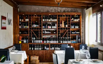 O'Neils Caribbean Flavour Ltdrestaurant · Harrow Rd, W10Open · until 20:00
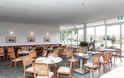 Golborne Restaurantrestaurant · Golborne Rd, W10Open · until 17:00
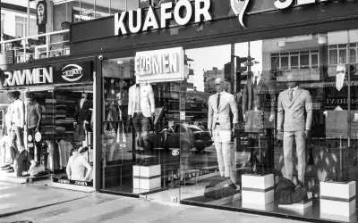 Sol's Gent Hairdressinghair salon · Golborne Rd, W10Open · until 19:00
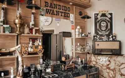 Ranya Barber Shopbarber · N Pole Rd, W10Open · until 19:00
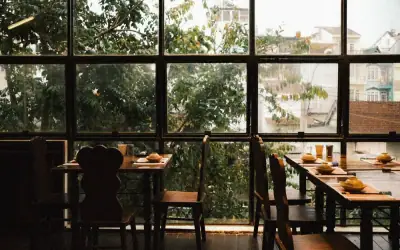 345 Portobellocafe · Portobello Rd, W10Open · until 17:00
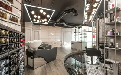 Cactuscutsbarber · Barlby Rd, W10Open · until 19:30
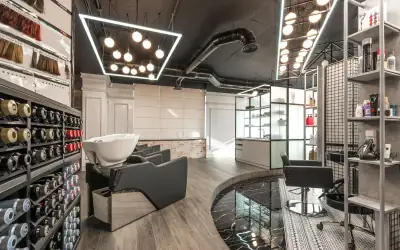 The Nails Cornernail salon · Harrow Rd, W10Open · until 19:00
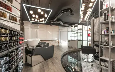 H B D Chair salon · Kilburn Ln, W10Open · until 18:00
Kensington and Chelsea, back in time On the map →
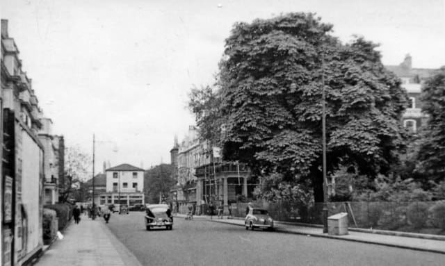
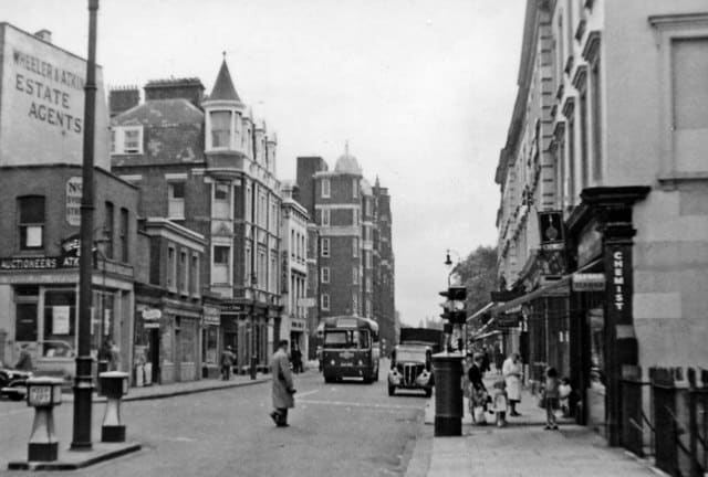
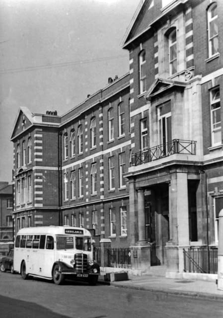
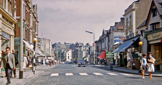
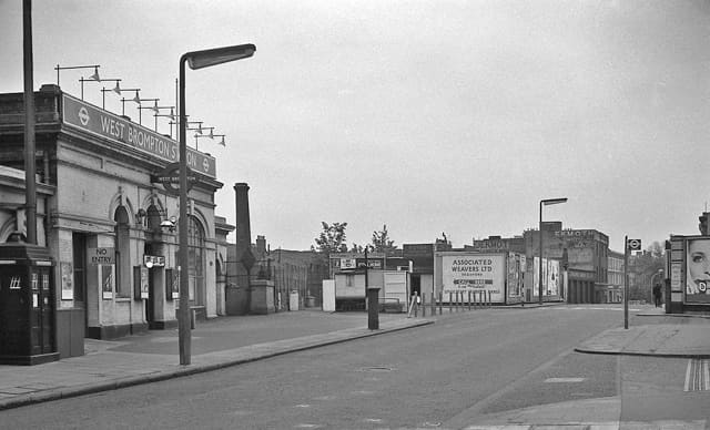
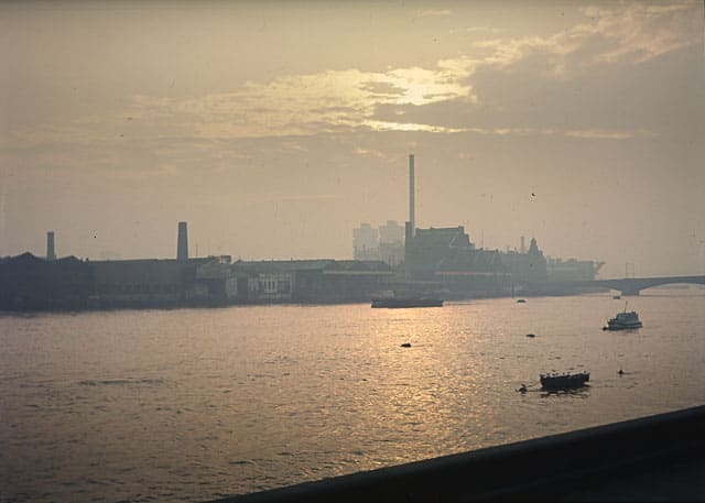
Updated 15 hours ago · Geograph, Wikimedia Commons. Our copies are shared under the same licence as each photo: CC BY-SA 2.0.
Local adsHealthGetting aroundPoliceGroupsYour councillorsCouncil servicesSpace to letAccessibilityPrivacyAsk Freddie, our AI assistant: bottom rightThis site uses cookies to count visits: Google Analytics counts the page and where you came from (privacy).